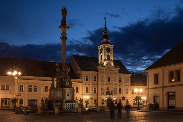


Rokycany |
Between the Svihovska upland and the Krivoklatska highland, at the confluence of the Klabava river and Holoubkovsky creek, in the Rokycanska hollow basin near the Brdy protected landscape area. Once a town with a bishop's castle, later a royal town. The birthplace of Jan Rokycan, the place, where the so-called demarcation line passed in 1945.
Select a city or village to view a detailed forecast.